
Learning With a Giant Floor Map
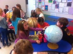
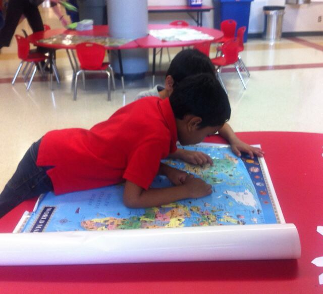
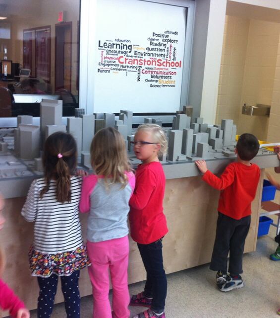
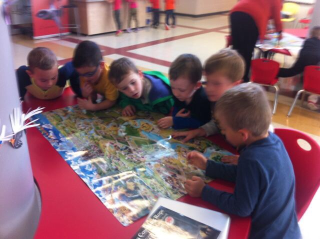
A Giant Floor Map (36’ x 25’) is coming to Cranston School on November 3. We are borrowing it from Canadian Geographic magazine for 3 weeks and the excitement is building! For October and November, Chris Southworth, our LL, and I will work with all the K-4 classes to introduce mapping concepts prior to the arrival of the GFM. As we work with digital images, videos. globes, flat maps, maps in books, atlases, and the 3-D model of 1988 downtown Calgary that resides at our school, I am amazed at the observations and questions the children bring to this learning experience.
“Maybe the bumps on the globe show the mountains.”
“I think the brown globe shows Egypt because there is so much dirt.”
“I think the Earth tilts on the globe to get day and night.”
“I wonder why the globes are different sizes?”
“Why do some maps have pictures and some have words?”
“I found my mom’s office downtown and she has no electricity there so she can’t go to work!”
We are exploring images and learning how to represent our world using concepts related to direction, legends, scale and dimension. The GFM depicts Canada’s national parks and leads us into our inquiry work around the development of a naturalized area on our schoolyard. The enthusiasm is palpable and I am – as always – energized by the exciting ways we can all work together to bring learning alive – starting with a giant map!
Bio: Lorraine Kinsman believes learning should be hands-on, fun and always engaging. A life-long learner, wife, mother, grandmother, questioner & PhD student.
 RSS Feed
